Hurricane Matthew

How FEMA learned from its mistakes

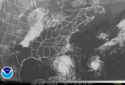
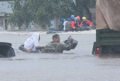
When Hurricane Matthew made landfall in the United States in early October, it was a chance for the Federal Emergency Management Agency to prove it’s…

Read more

#FedFeed – Agencies in the aftermath of Hurricane Matthew

Read more
The GOES East satellite image provided by the National Oceanic and Atmospheric Administration (NOAA) and taken Tuesday, Oct. 4, 2016 at 1:12 p.m. EDT, shows Hurricane Matthew over the Caribbean region.  Hurricane Matthew roared across the southwestern tip of Haiti with 145 mph winds Tuesday, Oct. 4, 2016, uprooting trees and tearing roofs from homes in a largely rural corner of the impoverished country as the storm headed north toward Cuba and the east coast of Florida. (NOAA via AP)

#FedFeed – Hurricanes and the NOAA scientists who fly into them

Read more